Planning Department Geographical Information System (GIS)
A Geographical Information System provides a powerful way to show on a map what is present on the landscape. There are challenges in terms of accuracy, but for a general review of the many features such as roads, streams, zoning, etc. GIS is very powerful. For more accurate detail of parcel boundaries, elevation, etc. a professional survey completed by a Licensed Surveyor would be recommended.
Available Maps
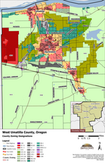
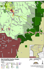
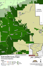
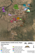
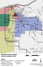
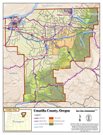
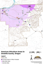
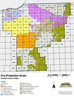
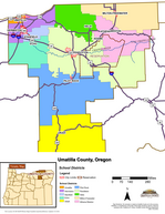
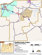
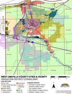
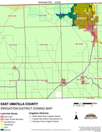
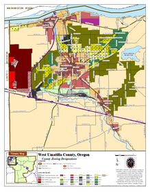
Below are the maps that are already made and can be purchased in large poster format from our office. Click on the link to view and print the maps or contact us to order a larger size. If these maps do not meet your needs or you would like to customize a map, please contact our staff and they will be happy to work with you.
The following shapefiles are available to be purchased and must have a GIS Data License Agreement completed. Additional datasets will be available when developed. Please contact Planning Department for purchasing details.
There are a variety of datasets available from Oregon Spatial Data Library
ODFW 2009 Winter Range Areas and Critical Winter Range Overlay Zones in Umatilla County. This map shows the new 2009 ODFW Winter Range Areas of Deer and Elk. These areas are NOT designated with the "Critical Winter Range" Overlay Zone by Umatilla County to date (April 2011).
Zoning Maps by Tax Map (PDF Format) for download
The zoning maps for the County can be viewed by individual tax map. Thus, the tax maps that are already available has the added feature of the various zoning boundaries. One can view the tax maps without zoning by visiting the State of Oregon ORMAP site.
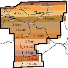
Maps are broken out by Township. You will need to know the Township, Range, Section and Tax Lot of the parcel. Select the Township where the subject parcel is located and then select the map that is applicable.
County Industrial Land Maps (PDF Format)
These maps show the location of Industrial Zoned areas in the county.
Central County (Pendleton, Pilot Rock, Rieth, Helix, and Ukiah)
East County (Milton-Freewater, Weston, Athena, and Adams)
West County (Umatilla, Hermiston, Stanfield, and Echo)
Depot Zoning
Soil Data Mapping
Some land use applications require the applicant to provide information about the soils on the property. Mapping and detailed information about the soil types on the property can be accessed using the U.S. Department of Agriculture, Natural Resources Conservation Service Web Soil Survey mapping tool. NRCS Web Soil Survey Home Page
If you are having difficulties viewing the NRCS Web Soil Survey site, you may have to enable popups for this site. For more information go to Requirements for Running Web Soil Survey
Contact Information
Click here for the Staff Directory
Community Development
216 SE 4th Street, Room 104
Pendleton, OR 97801
541-278-6252
planning@umatillacounty.gov
Other Agency Links
Oregon Building Codes
DEQ
FEMA Flood Insurance Rate Maps
OSU Extension


